SURVEY SERVICES FOR DATA ACQUISITION

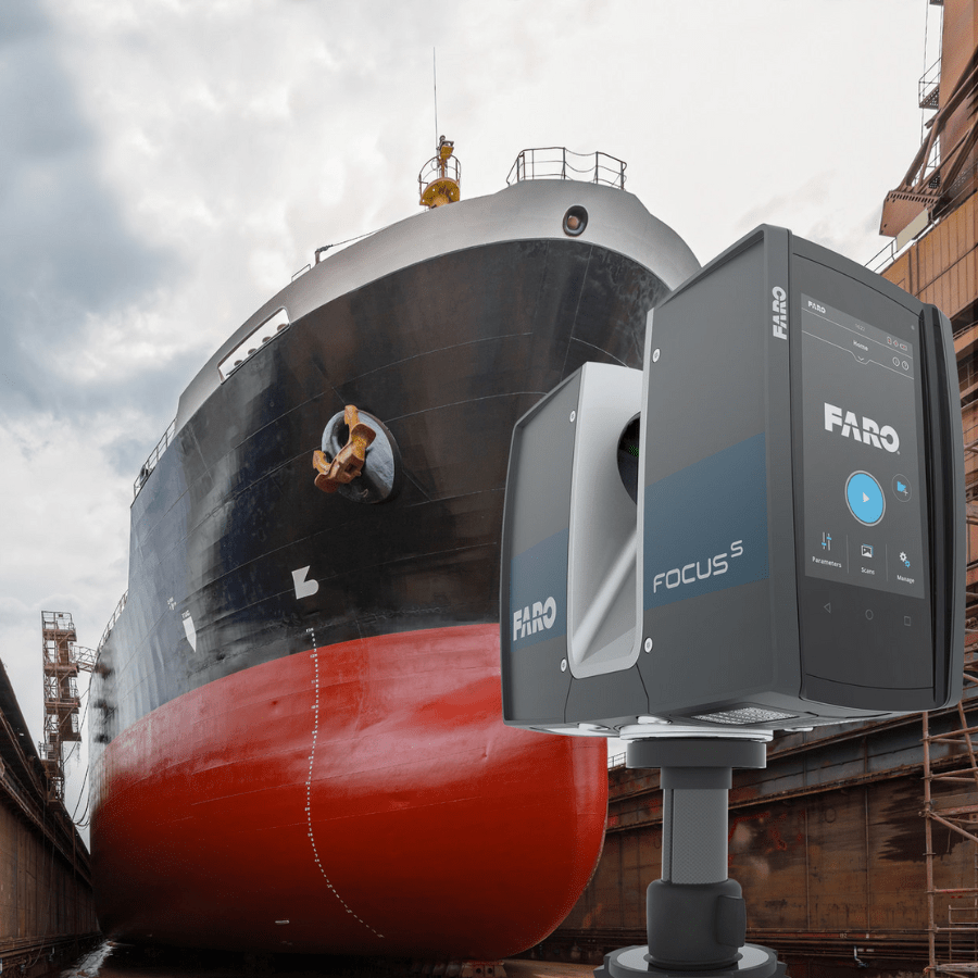
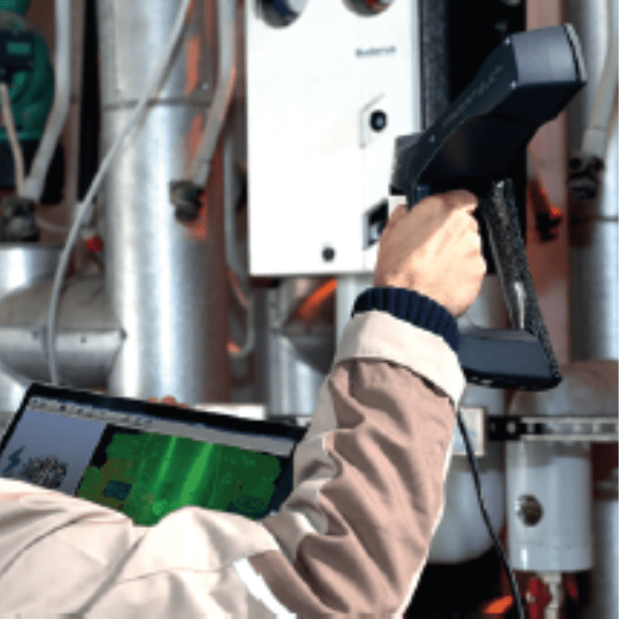
The 3D Laser Scanner is a high-tech instrument whose peculiarities are to detect small or large objects in a very short time and automatically.

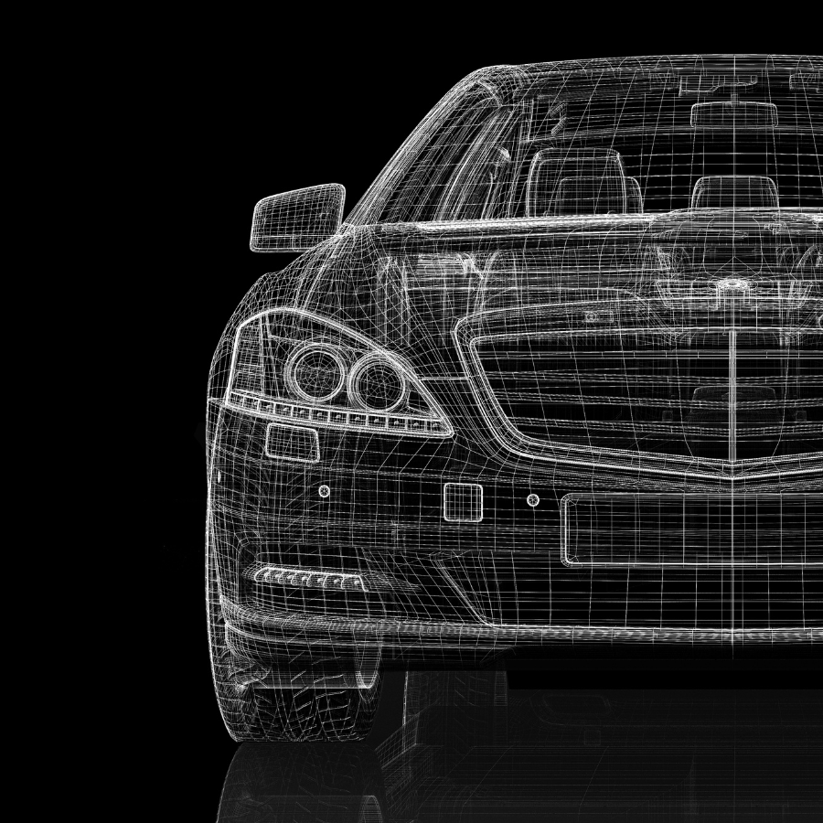
Thanks to its acquisition speed and measurement precision, the laser scanner survey undoubtedly represents the most efficient method in generating 3D documentation, returning detailed point clouds that allow the cad modeling of the object detected in a precise and realistic manner.

HIGH TECHNOLOGICAL INNOVATION

LASER SCANNER RELEASES AND PROCESSING

Discover more

AUTOMATIC AND MANUAL
3D LASER SCANNER

Scan rate of 1 million points per second
Linearity error ±2mm
Range from 0.6m up to 130m
50% noise reduction
HDR image overlay
HDR image resolution up to 165 megapixel colors.
Dimensions 24x20x10
Weight 5.2kg

BROCHURE ARCHITECTURAL SURVEYS
HIGH ACCURACY

High 3D Laser accuracy finds growing application in interior design, accommodations dimensioning and on board existing structures interface, in particular for new system installation on existing ships.

SURVEY DIVISION

The Bi.nav “Surveys Division”, has been built to suit further specific needs of our costumers which highly appreciated the 3D Laser scanner work and the professional result in performing each task

INTEGRATED GPS

The integrated GPS receiver is able to correlate individual scans during the post-processing making it ideal for 3D surveying applications. Finally, thanks to their portability and WLAN connectivity providing remote control, Bi.Nav 3DLaser Scanners are very useful and unique tools evenin hard to reach environment and difficult conditions.

APPLICATIONS

The Bi.nav “Surveys Division”, has been built to suit further specific needs of our costumers which highly appreciated the 3D Laser scanner work and the professional result in performing each task.